Exploring the Potential of Geospatial AI in Africa
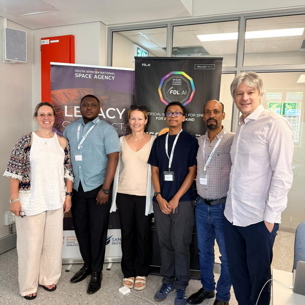
Researchers, technologists, and policymakers gathered in Stellenbosch for the FDL Foundations Africa Workshop, on March 9 and 10, to explore how emerging geospatial AI tools could be applied to challenges across the continent. Rather than a traditional lecture-style event, the workshop focused on collaborative thinking bringing together diverse expertise to identify where these technologies could have meaningful impact.
Among the participants was Haingo Andry, a PhD candidate in Applied Mathematics at Stellenbosch University and affiliated with CERI. His experience reflects both the exploratory nature of the workshop, and the growing relevance of geospatial approaches to African research contexts.
The central aim of the workshop was to brainstorm applications of geospatial foundation models (GFMs) large-scale AI systems trained on spatial data particularly in scientific and high-impact domains.
Participants worked in groups to generate and refine ideas, using structured discussions and voting systems to prioritise the most promising concepts. We developed ideas or refined existing ones, following the workshops approach, and used voting systems to filter out ideas, Haingo explains.
A recurring theme across discussions was the use of these models to better understand and respond to environmental challenges. Many ideas focused on predicting or managing natural disasters such as floods and wildfires, while others explored how geospatial insights could support agriculture, for example by helping farmers improve yields and income. As Haingo puts it, the recurring theme was to find problems that Geospatial Foundation Models (GFMs) could solve and bring impact to peoples lives.
The diversity of the group stood out most, Haingo notes, highlighting how this mix helped sharpen thinking and ground ideas in real-world contexts. Participants came from a wide range of backgrounds including computer science, astronomy, policy, management, Geographic Information Systems (GIS), and machine learning creating a space where technical ideas could be challenged and reshaped through different perspectives.
While the workshop was not focused on teaching the technical foundations of AI, it provided a shared understanding of how GFMs operate: pre-trained on large-scale geospatial datasets, they can be adapted to specific applications such as disaster monitoring or object detection. The emphasis, however, remained firmly on application rather than theory.
For CERI, where work sits at the intersection of genomics, epidemics and data science, the relevance of these approaches is particularly compelling. Geospatial AI offers new ways to map and analyse the relationships between environmental factors and disease dynamics an area central to epidemic modelling and response. As Haingo explains, This is especially relevant for work involving geospatial data and mapping relationships between data distributions, pointing to use cases such as estimating mosquito populations, which are closely linked to disease transmission.
More broadly, these tools hold significant promise for African public health contexts. They could support early warning systems by monitoring environmental and climatic changes, help identify high-risk zones, and improve understanding of healthcare access across regions. They may also enable more targeted interventions by predicting vector habitats or modelling how disasters influence disease spread.
Although direct applications to genomics or microbial research were not a focus of the workshop, the intersection between geospatial data and epidemic modelling presents a clear opportunity. For CERI, this opens the door to integrating spatial intelligence with genomic surveillance strengthening how outbreaks are detected, understood and responded to in real time.
The workshop concluded with a set of potential research directions, many of which could evolve into collaborative projects or funding proposals. Some ideas could evolve into research collaborations or funding proposals, Haingo says, noting how multiple concepts were refined through discussion and voting, with a focus on real-world challenges where GFMs could deliver tangible societal benefit.
In that sense, the Foundations Africa Workshop was less about delivering answers and more about shaping questions highlighting where emerging technologies like geospatial foundation models might meaningfully contribute to solving some of Africas most pressing challenges, and where institutions like CERI are well positioned to lead.
Text: Katrine Anker-Nilssen
News date: 2026-04-08
Links:
KRISP has been created by the coordinated effort of the University of KwaZulu-Natal (UKZN), the Technology Innovation Agency (TIA) and the South African Medical Research Countil (SAMRC).


Location: K-RITH Tower Building
Nelson R Mandela School of Medicine, UKZN
719 Umbilo Road, Durban, South Africa.
Director: Prof. Tulio de Oliveira